Chetwynd and Toton: Reading the Neighbourhood Plan
Which documents were adopted in May 2024, how the different maps fit together, and what selected policies mean for reading development proposals.
Published
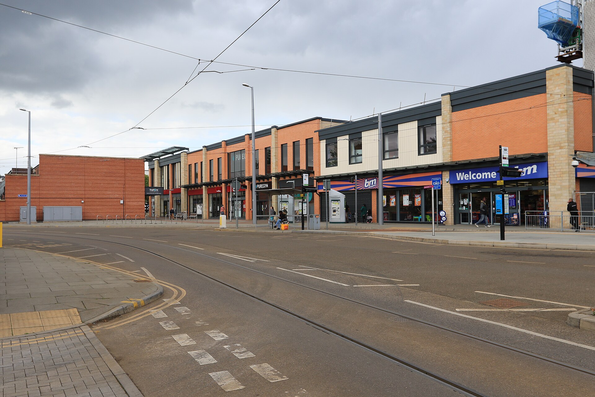

The Chetwynd: The Toton and Chilwell Neighbourhood Plan helps Broxtowe Borough Council decide planning applications within its neighbourhood area. The council adopted it on 15 May 2024, following a referendum on 2 May. For residents reading a development proposal, the useful starting points are the adopted document, the relevant map and the precise wording of the policy.[1][2]
Start With the Adopted Documents
Broxtowe Borough Council, the local planning authority, keeps the adoption record and earlier consultation material on the same webpage. Under “The adopted documents are included below”, it lists the adopted neighbourhood plan and a Policies Map. Use that pair when reading the plan’s requirements. Further down, the page contains referendum documents, proposed amendments and submission material from earlier stages.[1]
The adopted plan’s PDF filename includes “feb-2024”. That filename needs to be read alongside the council’s adoption record. February was when the council agreed the examiner’s modifications and decided that the revised plan should proceed to a referendum. The May 2024 decision statement records the later decision to make, or adopt, the plan.[1][2]
There are also two different decision statements in the page’s history. The February decision concerned proceeding to the vote. For confirmation of adoption, look for the May 2024 Regulation 19 Decision Statement, particularly paragraphs 3.6 and 3.7 on page 6.[1][2]
The Area Boundary and Policies Map Answer Different Questions
Section 2.1 describes the neighbourhood area by reference to Chilwell West and Toton and Chilwell Meadows, two wards within Broxtowe. For the actual boundary, turn to Figure 1.1 on page 7 of the plan or Plan A on page 7 of the May decision statement. A neighbourhood name alone is insufficient to establish whether a particular property falls inside.[2][3]
There is a specific reason to take care near the western edge. Section 4.2 distinguishes the ward boundary, extending to the River Erewash, from the neighbourhood boundary constrained by the HS2 safeguarding zone described in the document. Read that as the plan’s explanation of its geography, rather than a statement about current railway delivery.[3]
Once you have established the neighbourhood boundary, use the adopted Policies Map to locate mapped policy features. Keep it separate from the plan’s illustrative drawings. Page 41 explicitly describes the routes in Figures 9.1 to 9.3 as indicative, including possible green corridors, a walking route and a tram extension.[1][3]
Three Policies Worth Reading Closely
Section C contains the policies. Page 52 explains the layout: policy wording appears in blue boxes, followed by justification. Some entries also have a separate Forum aspiration box for developers to consider where feasible. Those distinctions help you identify whether a passage sets out a policy, explains its reasoning or describes a further ambition.[3]
HAS03: Broadband Infrastructure Within Major Developments
On page 77, HAS03 says major development, including examples at Chetwynd Barracks and the Strategic Location for Growth, should provide infrastructure within the site for high-speed connectivity to every home. Fibre-optic infrastructure is given as an example. When reading a proposal, look for how that infrastructure is included across the development. The wording addresses provision within the site and does not specify a household broadband tariff or installation date.[3]
HAS04: Reducing Time Spent Building On Site
Also on page 77, HAS04 says major development should minimise on-site construction times through Modern Methods of Construction, such as modular homes, and other means where appropriate. The justification connects this to residents’ concerns about prolonged disruption and the timing of local facilities. It gives you a reason to examine a proposal’s construction approach, while leaving the suitability of particular techniques dependent on the development.[3]
URB06: Infill Within Existing Residential Areas
The plan also addresses development among existing homes. URB06, on page 82, says infill must maintain or enhance the existing area’s amenity, open space, large rear gardens, smaller front gardens, mature trees and other planting. For a nearby infill proposal, those are specific features to compare with the submitted layout and its treatment of the existing site.[3]
How It Fits With Other Planning Documents
The neighbourhood plan works alongside existing planning policy. Its introduction identifies the Broxtowe Aligned Core Strategy 2014 and Part 2 Local Plan 2019 as its strategic context. Paragraph 19.4 distinguishes those development-plan policies from the Toton and Chetwynd Barracks Strategic Masterplan Supplementary Planning Document, which provides further guidance and sits below the development plan.[2][3]
A policy expressing support for development does not itself grant an individual planning permission. The council’s adoption statement says applications must be considered against the neighbourhood plan as well as existing policy. Nor does an indicative route establish a delivery timetable: the plan itself acknowledges uncertainty about development timing and the potential railway interchange.[2][3]
For an address-specific question, send the site location and the policy or map reference you are reading to the council’s Planning Policy Team at policy@broxtowe.gov.uk. Its published contact number for neighbourhood-plan enquiries is 0115 917 3015.[1][2]
Sources and checks
These sources were used for this article. Availability, prices and service details can change after the stated check date.
- Chetwynd: The Toton and Chilwell Neighbourhood Plan
Checked 20 October 2026.
Full Council adopted the neighbourhood plan on 15 May 2024 following the 2 May referendum. The council webpage separates adopted documents from referendum and earlier consultation material. The adopted documents comprise the neighbourhood plan and Policies Map. The February decision to proceed to referendum is distinct from May adoption. The council publishes policy@broxtowe.gov.uk and 0115 917 3015 for enquiries.
- https://www.broxtowe.gov.uk/media/llmjg5nr/chetwynd-the-toton-and-chilwell-decision-statement-may-2024.pdf
Checked 20 October 2026.
The May 2024 Regulation 19 Decision Statement records adoption on 15 May. The referendum took place on 2 May 2024. The February Cabinet decision incorporated modifications and authorised proceeding to referendum. Paragraphs 3.6 and 3.7 appear on page 6. Plan A on page 7 identifies the neighbourhood area boundary. Applications are considered against the neighbourhood plan and existing planning policy, rather than receiving permission through adoption.
- https://www.broxtowe.gov.uk/media/sdcllkdq/chetwynd-the-toton-and-chilwell-n-p-feb-2024.pdf
Checked 20 October 2026.
Section 2.1 describes the area by reference to Chilwell West and Toton and Chilwell Meadows. Figure 1.1 on page 7 identifies the neighbourhood area. Section 4.2 distinguishes the ward boundary from the neighbourhood boundary affected by the safeguarding zone described in the plan. Page 41 identifies Figures 9.1 to 9.3 as indicative. Section 12.3 distinguishes policy boxes, justification and separate Forum aspirations. HAS03 on page 77 addresses infrastructure within major development for high-speed connectivity to every home. HAS04 on page 77 addresses minimising on-site construction time using appropriate construction methods. URB06 on page 82 addresses amenity, open space, gardens, trees and planting in residential infill. Sections 1.5 and 19.4 explain the strategic planning context and the supplementary document’s position below the development plan. Sections 19.8 to 19.11 acknowledge uncertainty over timing and evolving infrastructure requirements.