Walking and Cycling Links Around Beeston, Chilwell and Stapleford
Compare the Big Track and Erewash Valley Trail, find named local access points and understand the surface and cycling restrictions before choosing a section.
Published
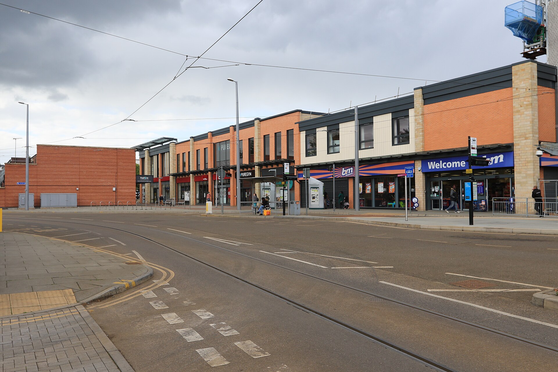

For walking and cycling around Beeston, Chilwell and Stapleford, two council-published trails offer different starting points. Broxtowe Borough Council lists the Big Track as a 10-mile circular route taking in Beeston Weir, while the Erewash Valley Trail is listed as a 30-mile circuit with named access points in all three communities. You can choose a section without committing to either complete circuit.[1][2][3]
Which Trail Fits Your Plans?
| Route | Published Circuit Length | Local Reference Points | Surface and Access Description |
|---|---|---|---|
| The Big Track | 10 miles | Beeston Weir, with the route also taking in Victoria Embankment and Nottingham Castle | The council describes generally good path surfaces and a route on one level. Its table marks the route as wheelchair friendly. |
| Erewash Valley Trail | 30 miles | Eastern access entries include Baulk Lane in Stapleford, Cator Lane in Chilwell and the Trent Riverside Path from Beeston Lock | The council describes generally good surfaces, with short steep sections and kissing gates at some locations. |
Those distances describe the complete circuits. They don’t tell you the distance between Stapleford and Chilwell, or how far you’ll travel from a particular access point. Choose your entry, turning point and return route on the official mapping before deciding whether a section suits the time you have.[1][2][3]
The Big Track’s Beeston Connection
The Big Track is the shorter of the two published circuits. The council describes it as a car-free walking and cycling route connecting places around Nottingham, including Beeston Weir, Victoria Embankment and Nottingham Castle. That makes it a useful route to investigate if your interest is the Beeston waterfront and a circuit reaching towards Nottingham.[1]
Its generally good, level surfaces give it the more favourable council access description of these two trails. Keep the place names distinct when planning, though. The Big Track description names Beeston Weir, while the Erewash guide’s eastern access list names the Trent Riverside Path from Beeston Lock. These are separate reference labels, so use the relevant route information to locate your intended entry.[1][3]
Erewash Access Points for the Three Communities
The Erewash guide lists the following entries under its eastern-side access points. The numbers identify entries in that list and help you find the corresponding places on the guide.[3]
| Guide Entry | Access Label | Published Postcode |
|---|---|---|
| 13 | Baulk Lane, Stapleford | NG9 8BG |
| 14 | Cator Lane, Chilwell | NG9 4AY |
| 17 | Trent Riverside Path from Beeston Lock | NG9 1NA |
For a local outing, start by finding the entry nearest your intended destination, then trace the trail itself. The guide also lists Attenborough Village and Railway Station as entry 15 and Attenborough Nature Centre, Barton Lane, Attenborough as entry 16. These provide further named reference points when choosing a section around Chilwell and the riverside.[3]
How the Eastern Route Passes Through Chilwell
The eastern-side description shows why this trail needs closer reading than a simple canal-towpath outing. Coming south, it follows the Nottingham Canal to Coventry Lane, uses a short roadside cycleway and passes through a corner of Bramcote Hills Park. It then follows Stanley Drive and estate roads towards Chilwell’s open spaces, connecting with Cator Lane and Long Lane on the way to Attenborough Village.[3]
Beyond the village, the described route passes close to the nature centre before reaching the Trent and following the river upstream towards Cranfleet Lock and Trent Lock. Use that sequence to orient yourself on the map. It isn’t a set of turn-by-turn instructions for joining from your front door.[3]
Shortcuts Have Different Cycling and Access Conditions
The Erewash Valley Trail is described as a walking and cycling route, but its map key separately identifies shortcuts and circular walks, warning that some are unsuitable for cycling. If you’re planning a shorter loop on a bike, check which line you’re following at every departure from the main trail. A footpath link across the valley doesn’t by itself establish a cycling route.[2][3]
For wheelchair users and anyone who needs level, unobstructed passage, the Erewash description leaves a section-specific decision. Much of the route has easy, level access, but short steep stretches and kissing gates occur at some locations. The guide also identifies narrow sections and places where the route follows roads. Its general description cannot settle whether your chosen section meets your needs.[2][3]
Expect shared use, too. The council says walkers share sections of the Erewash route with cyclists and horse riders, and the guide asks users to take particular care near others and on narrow sections.[2][3]
Get the Official Guide Before Choosing Your Section
Broxtowe’s Erewash Valley Trail page provides links to both the trail guide and the area maps. Open the guide for its numbered access list and map key, then use the area maps to examine your intended section. The Big Track page’s map field is marked N/A, so that page alone won’t supply a route map.[1][2][3]
Before setting out, check the council’s route information and confirm any access requirements for the particular stretch you’ve chosen. For an Erewash bike ride, trace the return leg as carefully as the outward one, especially where a tempting shortcut leaves the main trail.[2][3]
Sources and checks
These sources were used for this article. Availability, prices and service details can change after the stated check date.
- The Big Track
Checked 20 October 2026.
The Big Track is listed as a 10-mile circular walking and cycling route. The council describes generally good surfaces and a route on one level. The council table marks the route as wheelchair friendly and car free. The description names Beeston Weir, Victoria Embankment and Nottingham Castle. The page’s map field is marked N/A.
- Erewash Valley Trail
Checked 20 October 2026.
The council table lists the Erewash Valley Trail as a 30-mile circular walking and cycling route. Surfaces are described as generally good, with short steep sections. Much of the route has easy, level access, but kissing gates and steep sections occur at some locations. Walkers share sections with cyclists and horse riders. The council page links to the trail guide and area maps.
- https://www.broxtowe.gov.uk/media/5200/erewash-valley-trail-guide.pdf
Checked 20 October 2026.
The eastern access list identifies Baulk Lane, Stapleford, NG9 8BG as entry 13. The eastern access list identifies Cator Lane, Chilwell, NG9 4AY as entry 14. The eastern access list identifies the Trent Riverside Path from Beeston Lock, NG9 1NA as entry 17. Attenborough Village and Railway Station and Attenborough Nature Centre are entries 15 and 16. The eastern route description passes through Coventry Lane, a roadside cycleway, Bramcote Hills Park, Stanley Drive, Chilwell, Cator Lane, Long Lane and Attenborough. The described route continues towards the Trent, Cranfleet Lock and Trent Lock. The map key warns that some shortcuts and circular walks are unsuitable for cycling. The guide identifies narrow sections, roads, short steep sections and kissing gates as considerations for route choice.